Key Site Information
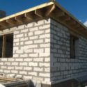
This property forms part of an old and well-established residential neighbourhood immediately north of the Arima town centre. The site is well drained and essential services of water, electricity and telephone are readily available. Sewerage is by septic tank and soakaway. The road leading to the site is 16ft wide, asphalt-paved and in good condition. The property enjoys a legal right-of-way to and from the public road and enjoys a right of drainage.
The site is regularly monitored and maintained.
First viewings will be accompanied by a representative of the seller.